When many planners talk about walkability, a significant amount of the discussion and planning is regarding horizontal alignments and links, and rightfully so. However, something that can sometimes be forgotten in the complicated process of creating a master plan or rezoning document is the vertical aspect of the terrain.
Steep hills can, at times, be as much of an obstacle to walkability as deficient infrastructure. There are obvious exceptions to this like Montmarte or the scenic hilly streets of San Francisco, but these are just that, exceptions.
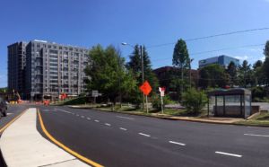
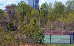
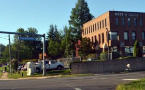
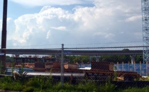
Walkability works best when it is easy on the user, the average pedestrian. That is why it was great to hear that the plans at Scotts Run South entails leveling the massive hill that is located on the between Colshire Drive and Anderson Road on the south side of Route 123. Here’s what that hill looked like when the Johnson Building still existed, before its demolition two years ago.
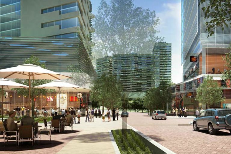
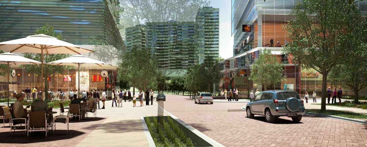
The new street grid under works by Scotts Run South developers Cityline will include the new pedestrian street dubbed “Station Street” which will will be significantly lower in elevation. This is a good sign that walkability is very much on the minds of the developers and property managers who will want to tout their access via non-vehicular means around the growing city. If walkability was only being implemented for cursory regulatory requirements, issues like elevation/slope would likely not be addressed well.

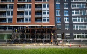
Scotts Run South, which just this past year completed Phase 1 (Haden Apartments) of their multi-phase, multi-building redevelopment, will eventually grow to 6.6 million square feet. That’s nearly the size of Reston Town Center by itself. The building that the current hill encompasses will be a 28-story, 450,000 square feet tower.
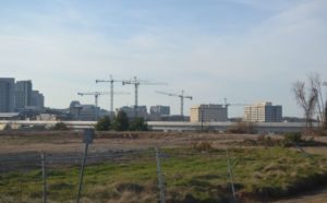
It’s not evident whether the Johnson parcel will be the next to go to construction, or the already partially excavated Westgate property. One sign that the next phase is upcoming will be watching the hill that currently obstructs access between Anderson and Colshire being lowered back to the natural street elevation at Route 123.

