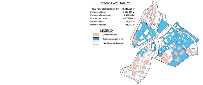
 We had previously written a post on how Tysons East is going to be the most dramatically changed district in Tysons as can be seen by the map of projects currently proposed for rezoning.
Maps show how much land area is planned to be overhauled, but it doesn’t capture the drastic nature of that change. When viewed with the proposed massing of the rezonings (some of which are already under construction) it is more apparent just how dramatically different Tysons East will look in as little as 10 to 15 years.
The map and massing visualization does not include the newly submitted Highland District which will only added to the makeover of the area.
[baslider name=”TysonsEast”]

